About Simbad
Sentinel Imagery Multiband Analysis and Dissemination
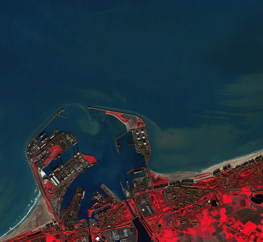
The vast amounts of data produced by the constellation of Sentinel satellites are a great opportunity to develop EO-based products, applications and services. However, handling an ever-increasing volume of EO data is one of the main challenges faced. It becomes crucial to use the adequate tools to manage these data including, data storage, integrated data processing chains, analysis and preservation. SIMBAD (Sentinel Imagery MultiBand Analysis and Dissemination), is a module of our SEP dedicated to the processing of Sentinel imagery and the extraction of EO-based products. SIMBAD integrates the hardware/software infrastructures able to supply the computing and storage resources needed for the exploitation and provision of the tools needed to manage the EO datasets in a distributed environment.
SIMBAD facilitates the exploitation of EO data by developing applications to address societal challenges, enabling policymakers, authorities, and environmental agencies to develop long-term strategies as well as to react efficiently to sudden critical situations.
![]()
![]()
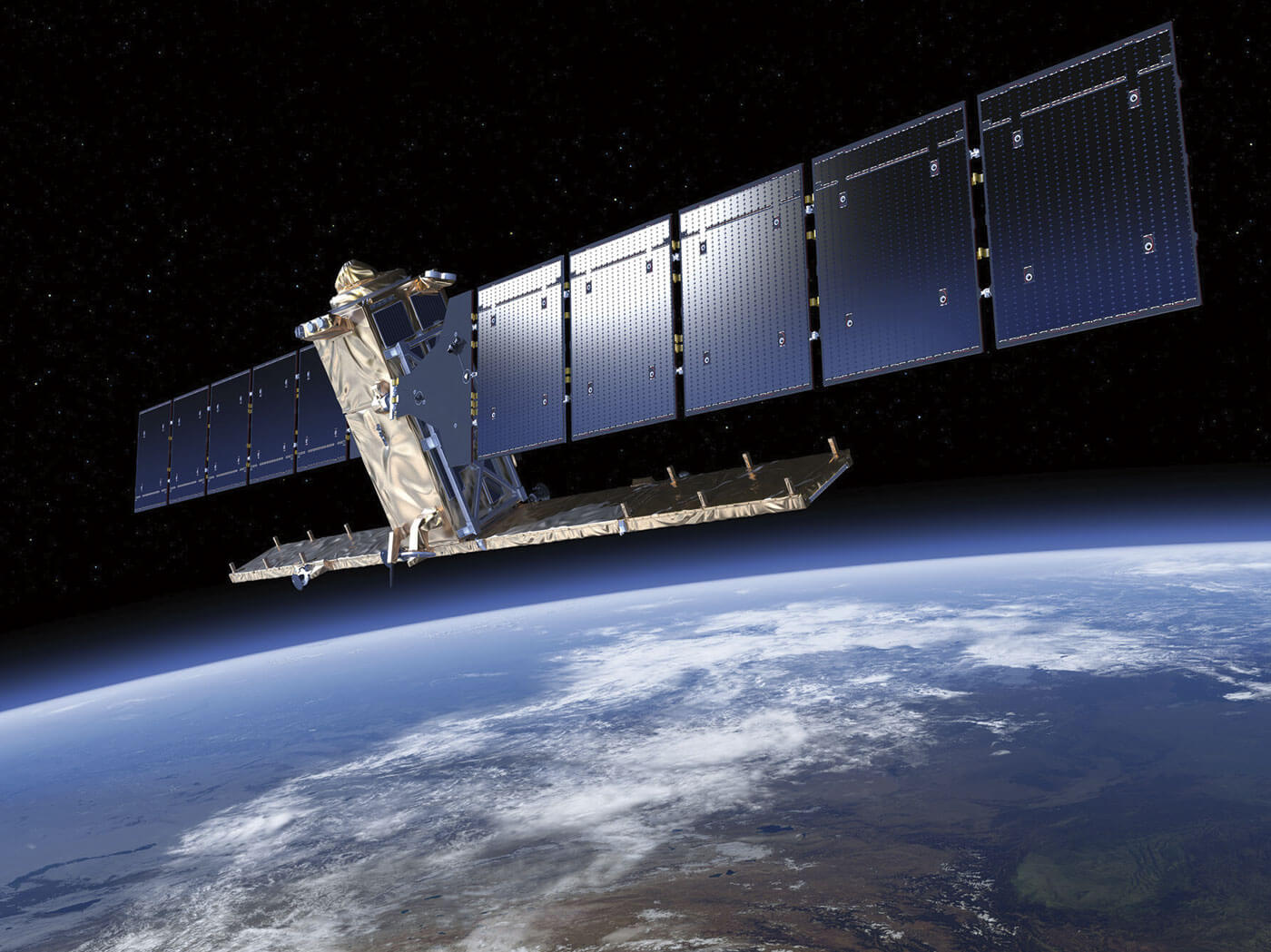
Sentinel 1
The Sentinel-1 (S1) mission is designed as a two-satellite constellation. Sentinel-1 is an imaging radar mission where each satellite carries an advanced radar instrument to provide an allweather, day-and-night supply of imagery of the Earth's surface.
S-1 Launch
- Date:
- 03 April 2014 - Sentinel-1A
- 25 April 2016 - Sentinel-1B
- Site: Kourou, French Guiana
- Rocket: Soyuz rocket
S-1 Technical Guide
S-1 User Guide
S-1 Facts
- Two satellites in a 12-day orbit. The two-satellite constellation offers a 6-day exact repeat cycle at the equator (revisit rate is significantly greater at higher latitudes than at the equator). Sentinel-1 carries a Synthetic Aperture Radar (SAR) instrument.
- Repeat Frequency: 6 days.
- Revisit Frequency: 3 days at equator (Europe ~ 2 days).
- 4 Acquisition Modes: Stripmap (SM), Interferometric Wide swath (IW), Extra-Wide swath (EW) and Wave (WV). WV mode is the operational mode used over open sea.
Sentinel 2
Sentinel-2 (S2) is a wide-swath, high resolution (up to 10 m), and multi-spectral imaging. It is composed of two identical satellites, Sentinel 2A and Sentinel 2B, which provide imagery every 5 days or less. The S2 spectral bands enable the development of detailed land and marine ecosystems maps through the analysis of surface reflectance data under cloud-free conditions.
S-2 Launch
- Date:
- 23 June 2015 - Sentinel-2A.
- 07 March 2017 - Sentinel-2B.
- Site: Kourou, French Guiana
- Rocket: Vega rocket
S-2 Technical Guide
S-2 User Guide
S-2 Facts
- The two-satellite constellation offers a 5-day revisit cycle at the equator under cloud-free conditions which results in 2-3 days at mid latitudes.
- Sentinel-2 carries a MultiSpectrum Instrument (MSI) with 13 spectral bands.
- Repeat Frequency: 16 days at equator.
- Revisit Frequency: 5 days at equator (2-3 days at mid latitude).
- Spectral bands: 13, ranging from 10 to 60-meter pixel size. Its blue (B2), green (B3), red (B4), and near-infrared (B8) channels have a 10-meter resolution. Its red edge (B5), nearinfrared NIR (B6, B7 and B8A) and short-wave infrared SWIR (B11 and B12) have a ground sampling distance of 20 meters. Finally, its coastal aerosol (B1) and cirrus band (B10) have a 60-meter pixel size.
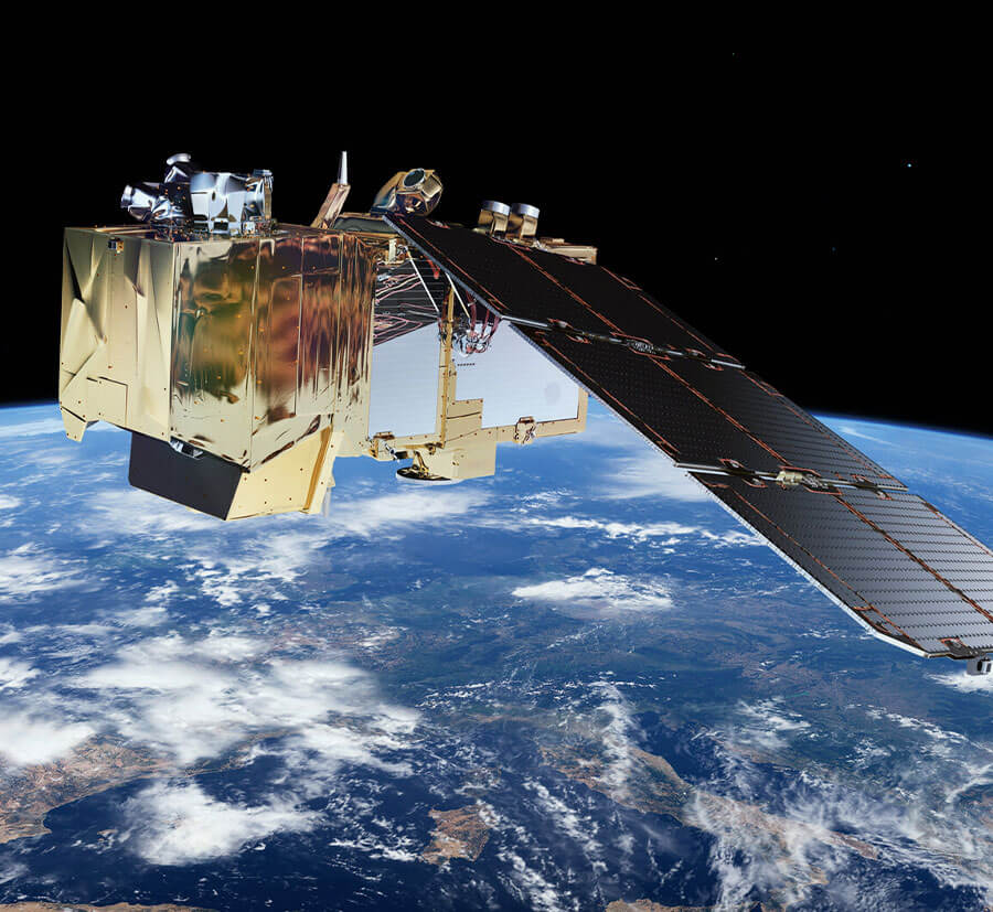

Sentinel 3
The Copernicus Sentinel-3 (S3) mission is designed as a twosatellite constellation. It carries multiple sensing instruments i.e., Sea and Land Surface Temperature Radiometer (SLSTR), Ocean and Land Colour Instrument (OLCI), and Synthetic Aperture Radar ALtimeter (SRAL) etc. The mission objectives are to measure topography, temperature, marine ecosystems, water quality, pollution, and other features for ocean forecasting and environmental monitoring.
S-3 Launch
- Date: 16:
- February 2016 - Sentinel-3A.
- 25 April 2018 - Sentinel-3B.
- Site: Plesetsk Cosmodrome, Northern Russia
- Rocket: Vega rocket
S-3 Technical Guide
S-3 User Guide
S-3 Facts
- The OLCI instrument has a 300-meter spatial resolution and 21 spectral bands with wavelengths ranging from the optical to the near infrared, allowing global coverage in less than 4 days. It provides information about water quality.
- SLSTR is the main topographic instrument that provides topography measurements over sea ice, ice sheets, rivers and lakes. It uses dual-frequency Ku and C band with a 300- meter spatial resolution.
- The SAR altimeter and the microwave radiometer can detect changes in sea-surface height and sea-ice.
Satellite Data Providers:
Commercial Imagery
Quasar Science Resources is working on adapting its products to commercial satellite data for those applications that would benefit from additional data or better spatial or time resolution. We work with several commercial satellite data providers and with them, Quasar will find the best solution to your application. This kind of service can be requested and will be studied on a one-by-one basis before providing a solution to potential users.